Professional Templates
for Malawi's Surveyors
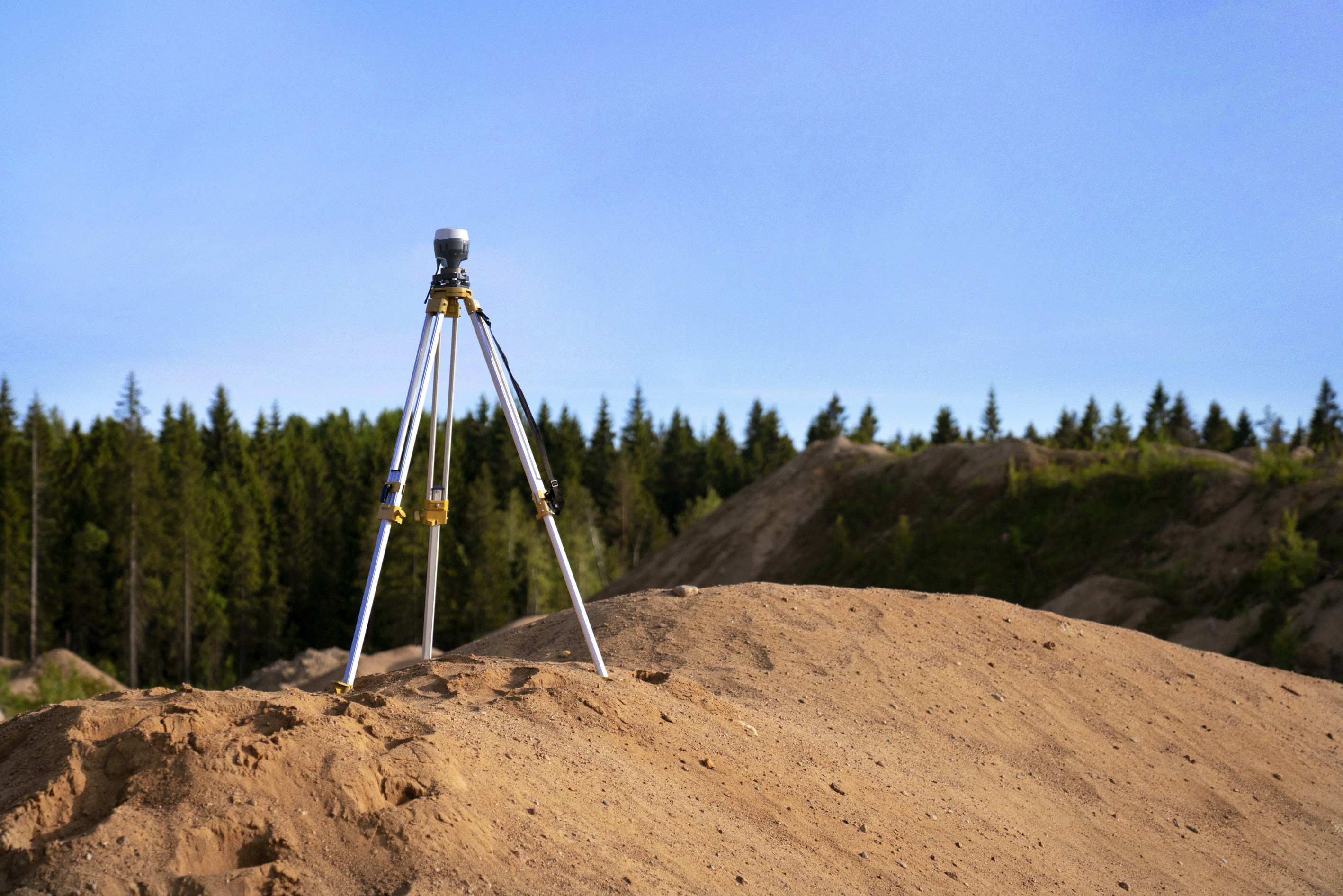
Drawing and computation templates for ArcMap, ArcGIS Pro, QGIS, and Excel — fully compliant with Malawi's cadastral regulations. Free for every surveyor.
What You
Should
Prepare For
Three straightforward steps from discovery to deployment — no friction, no cost.
Explore the full collection. Filter by GIS platform, paper size, or project type to find the exact template that matches your regulatory requirements and workflow.
Browse templates →Instantly access any template with setup documentation included. Get started in minutes — no registration, no payment, no friction. Just the files you need.
Get started →Deliver professional, regulation-compliant cadastral surveys every time. Your clients and the Lands Department will notice the difference in your deliverables.
Contact us →Built for the Field.
Designed for Compliance.
Every template complies with Malawi's cadastral regulations, ensuring your work withstands regulatory scrutiny across all 28 districts.
Deploy seamlessly in ArcMap, ArcGIS Pro, QGIS, or Excel. No new software required — fits directly into your existing workflow.
The full library is free to access with no registration required. Professional tools should be available to every surveyor in Malawi.
Regularly refreshed to align with the latest regulatory standards and GIS software versions. You'll always have current templates.
Ready to Streamline
Your Surveys?
Join hundreds of Malawian surveyors who rely on our templates for professional, compliant deliverables. Start downloading today — completely free.